Still working to recover. Please don't edit quite yet.
File:chinatown manhattan 2009.JPG
From Anarchopedia
Size of this preview: 800 × 536 pixels. Other resolutions: 320 × 214 pixels | 3,872 × 2,592 pixels.
Original file (3,872 × 2,592 pixels, file size: 4.86 MB, MIME type: image/jpeg)
|
This is an image of a place or building that is listed on the National Register of Historic Places in the United States of America. Its reference number is 10000012. |
Summary
| Description |
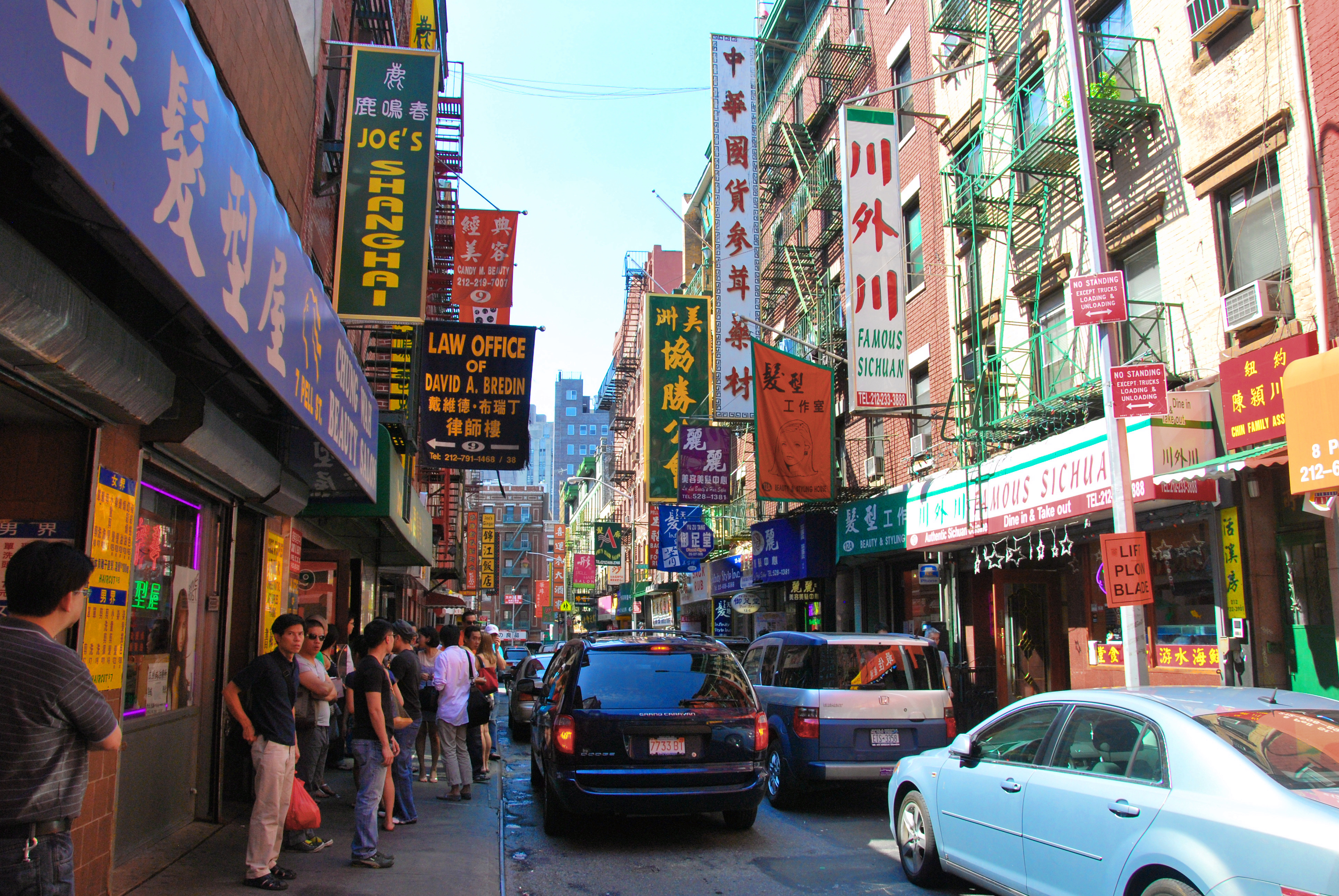
English: Chinatown, Manhattan, New York City 2009 on Pell Street, looking west towards Doyers and Mott Streets. |
| Date | |
| Source | chensiyuan |
| Author | chensiyuan |
| Camera location | | View this and other nearby images on: OpenStreetMap |
|---|
Licensing
I, the copyright holder of this work, hereby publish it under the following licenses:

|
Permission is granted to copy, distribute and/or modify this document under the terms of the GNU Free Documentation License, Version 1.2 or any later version published by the Free Software Foundation; with no Invariant Sections, no Front-Cover Texts, and no Back-Cover Texts. A copy of the license is included in the section entitled GNU Free Documentation License. |
This file is licensed under the Creative Commons Attribution-Share Alike 4.0 International, 3.0 Unported, 2.5 Generic, 2.0 Generic and 1.0 Generic license.
- You are free:
- to share – to copy, distribute and transmit the work
- to remix – to adapt the work
- Under the following conditions:
- attribution – You must give appropriate credit, provide a link to the license, and indicate if changes were made. You may do so in any reasonable manner, but not in any way that suggests the licensor endorses you or your use.
- share alike – If you remix, transform, or build upon the material, you must distribute your contributions under the same or compatible license as the original.
You may select the license of your choice.
File history
Click on a date/time to view the file as it appeared at that time.
| Date/Time | Thumbnail | Dimensions | User | Comment | |
|---|---|---|---|---|---|
| current | 20:32, 27 October 2012 | | 3,872 × 2,592 (4.86 MB) | Hohum | Levels |
File usage
The following file is a duplicate of this file (more details):
- File:Chinatown manhattan 2009.JPG from a shared repository
The following page links to this file: